
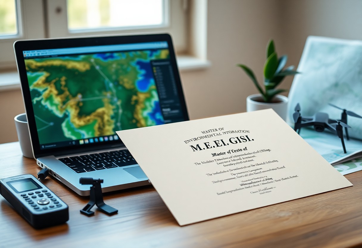
Just as environmental challenges grow more complex, your ability to interpret spatial data becomes a powerful tool. The Master of Environmental Information GIS (M.E.I.GIS) equips you with advanced skills in geographic information systems, environmental analysis, and data-driven decision-making, preparing you to address real-world ecological issues with precision and confidence.
Key Takeaways:
- The Master of Environmental Information GIS (M.E.I.GIS) program integrates geographic information systems with environmental data analysis to support decision-making in sustainability and resource management.
- Students gain hands-on experience with spatial technologies, remote sensing, and data modeling tools used in environmental monitoring and urban planning.
- The curriculum emphasizes real-world applications, preparing graduates for careers in government agencies, environmental consulting, and research institutions.
- Program participants learn to analyze complex environmental datasets and present findings through interactive maps and visualizations.
- Graduates are equipped to address pressing environmental challenges such as climate change impacts, land use change, and natural resource conservation using geospatial science.
The Digital Cartography of Nature
You now hold the tools to translate Earth’s complexity into precise visual narratives. Geographic Information Systems turn raw environmental data into dynamic maps that reveal patterns invisible to the naked eye. These digital representations are not just images-they are decisions in motion, guiding conservation, policy, and sustainable design with accuracy and foresight.
Mapping the Wilderness
Wild spaces resist simplicity, yet you chart their contours with precision. Satellite imagery, terrain models, and field-collected data merge to define boundaries, habitats, and ecological corridors. Your maps don’t just locate-they interpret, transforming remote forests, wetlands, and tundras into actionable knowledge for preservation and planning.
The Pulse of the Earth
Real-time sensor networks feed live data into your GIS models, capturing temperature shifts, water levels, and species movements. You monitor the planet’s rhythms as they happen, detecting anomalies before they become crises. This constant flow turns static maps into living systems, responsive and predictive.
Earth’s pulse emerges through layers of time-series data, where every fluctuation tells a story. You analyze seasonal migrations, track deforestation rates, and model climate impacts across regions. By integrating remote sensing with ground-truthed observations, your work transforms fleeting signals into long-term environmental intelligence-guiding interventions with timing and precision that were once impossible.
Tools for the Modern Surveyor
You rely on precision and speed in today’s geospatial workflows. Modern surveying tools integrate GPS, laser scanning, and real-time data processing to deliver accurate, up-to-date spatial information. These technologies streamline fieldwork and enhance decision-making across environmental and urban planning projects.
Remote Sensing Insights
You gain access to detailed land cover patterns and environmental changes through satellite and aerial imagery. Remote sensing allows you to monitor vegetation health, track urban expansion, and assess natural disasters without direct field contact, making it indispensable for timely, large-scale analysis.
Spatial Data Analysis
You transform raw geographic data into meaningful patterns using advanced analytical techniques. This process reveals relationships in land use, climate impact, and infrastructure needs, supporting evidence-based planning and policy development.
Spatial Data Analysis puts you in control of complex datasets by applying statistical methods and modeling tools to geographic information. You identify clusters, trends, and anomalies across space and time, enabling accurate forecasting and targeted interventions in environmental management and urban development. Software platforms like ArcGIS and QGIS provide the environment to perform these tasks efficiently, ensuring your findings are both reliable and actionable.
Curating the Living Record
Every environmental dataset you manage becomes part of a dynamic, evolving archive. At the Duorsumensûndersykskluster | UM-Flint, you engage directly with real-world systems where data informs policy, conservation, and urban resilience, turning raw inputs into actionable knowledge.
Environmental Database Management
You structure complex ecological datasets with precision, ensuring accuracy and accessibility across platforms. Your work maintains data integrity while supporting queries that drive environmental monitoring and long-term analysis in rapidly changing ecosystems.
Geoprocessing the Landscape
You transform spatial data into meaningful environmental insights through automated workflows and analytical modeling. This process allows you to detect patterns in land use, habitat fragmentation, and hydrological shifts with high spatial accuracy.
Geoprocessing gives you the power to simulate environmental change over time, using tools that convert satellite imagery, LiDAR, and field observations into predictive models. You apply these techniques to forecast erosion risks, model species migration, and assess flood vulnerability-all critical outputs for adaptive land management strategies.
The Scholar’s Path
Every step you take in the M.E.I.GIS program shapes your identity as a scholar and practitioner. You engage with real-world environmental challenges through a geographic lens, building expertise that bridges science, policy, and technology. This journey transforms how you interpret data, design solutions, and communicate spatial insights.
Core Academic Pillars
Your academic foundation rests on environmental science, geospatial analysis, and information systems. You explore how natural systems interact with human activity, using GIS to model patterns and support sustainable decision-making. These disciplines form the intellectual backbone of your training.
Technical Proficiency Requirements
Proficiency in GIS software like ArcGIS and QGIS is expected before advancing into specialized coursework. You must demonstrate competence in spatial data management, coordinate systems, and basic scripting. These skills ensure you can fully engage with advanced analytical methods.
Mastery extends beyond button-clicking; you learn to automate workflows using Python and work efficiently with spatial databases like PostGIS. You handle remote sensing data, perform geostatistical analysis, and create interactive web maps. Technical fluency becomes second nature as you apply these tools to environmental monitoring, urban planning, and conservation projects.
Professional Horizons
You open doors to diverse sectors where spatial insight shapes decisions. Environmental agencies, municipal governments, and nonprofit organizations seek your expertise to interpret complex data and guide sustainable action across landscapes and communities.
Conservation Leadership
Your role becomes pivotal in protecting ecosystems. You identify critical habitats, track biodiversity changes, and support policy design using geospatial tools that turn field observations into actionable conservation strategies.
Urban Planning Strategy
You shape resilient cities by analyzing land use patterns, population density, and infrastructure needs. GIS equips you to visualize growth scenarios and support planners in creating efficient, equitable urban environments.
Urban planning thrives on accurate spatial data, and your training allows you to assess transportation networks, zoning regulations, and environmental constraints. You produce maps and models that inform public investment, reduce sprawl, and promote sustainable development aligned with community goals.
Final Words
So you pursue the Master of Environmental Information GIS to master spatial data in environmental decision-making. You analyze complex systems, interpret patterns, and deliver actionable insights. This program equips you with technical precision and scientific depth, positioning you to lead in environmental analysis, resource management, and policy development with confidence and expertise.